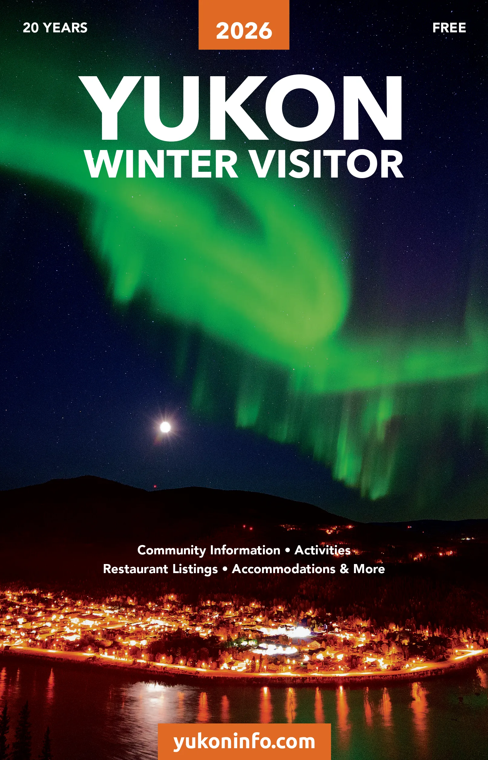
Whitehorse
Dawson City
Carcross
Haines Junction
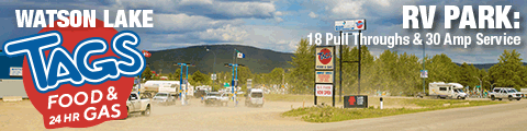
Watson Lake
Southern Lakes Region
Kluane Region
Campbell Region
Silver Trail
Klondike Region
North Yukon
Alaska
Northwest Territories
British Columbia
Yukon Rivers
Bed & Breakfasts
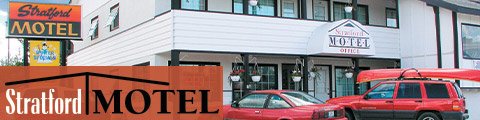
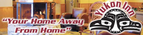
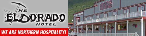
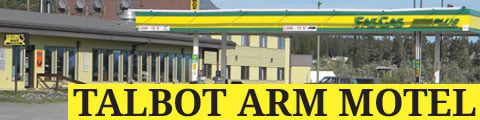
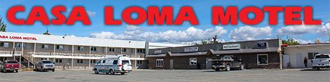
Hotels & Motels
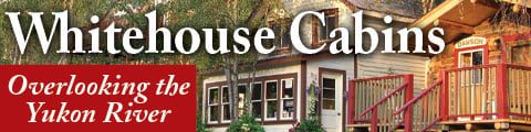
Cabin Rentals
Lodges
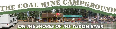
Campgrounds
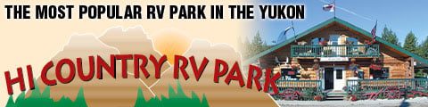
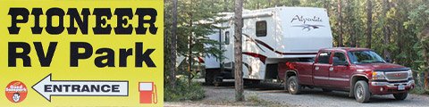
RV Parks
Hostels
Vacation Rentals
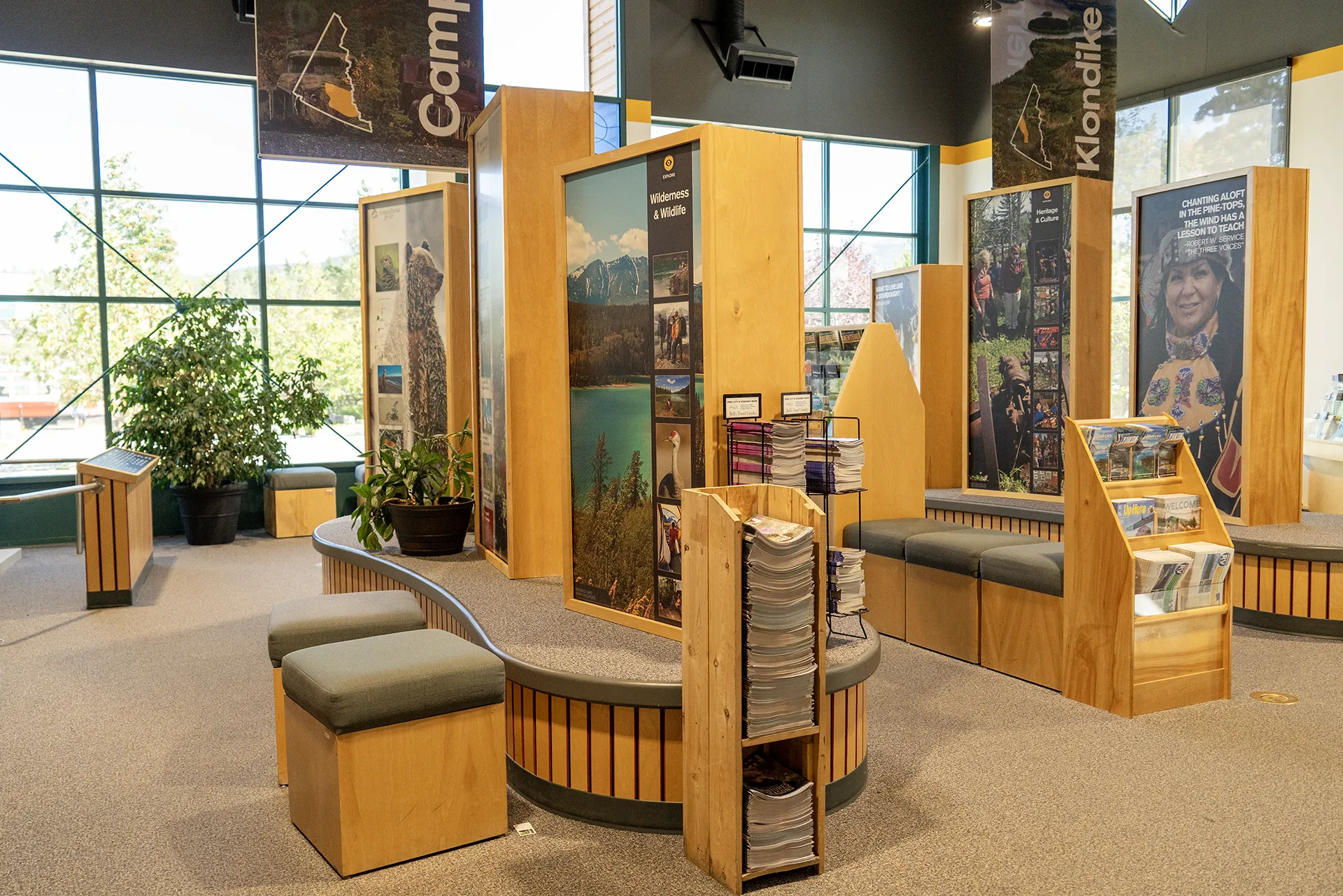
Visitor Centres
Sport & Recreation
Outdoor & Adventure
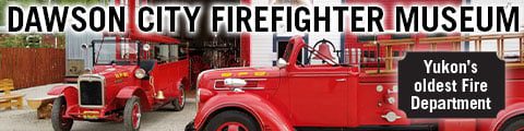
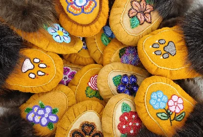
Arts, Culture & History
Tours & Sightseeing
Winter Activities
Bakeries
Saloons & Bars
Beer & Spirits
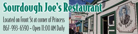
Restaurants & Take Out
Coffee Bars
Ice Cream Parlours
Grocery & Convenience
Apparel & Accesories
DIY & Building
Outdoor & Recreation Gear
Electronics & Office
Gifts & Souvenirs
Home & Furniture
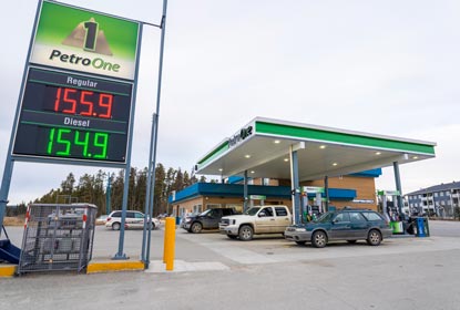
Auto Services
Transport & Logistics
Airlines & Charter Companies
Health & Wellness
Personal Care
Pet Services
Home & Trades
Finance & Real State
Business Services
Legal Services
Local Services